All Services
Precision Agriculture Consulting
Optimise your farm's productivity with data-driven insights and expert guidance.
Key Features
Latest technology soil mapping
Satellite imagery analysis
Custom prescription map generation
Get Started
Detailed Features
TSM Soil mapping
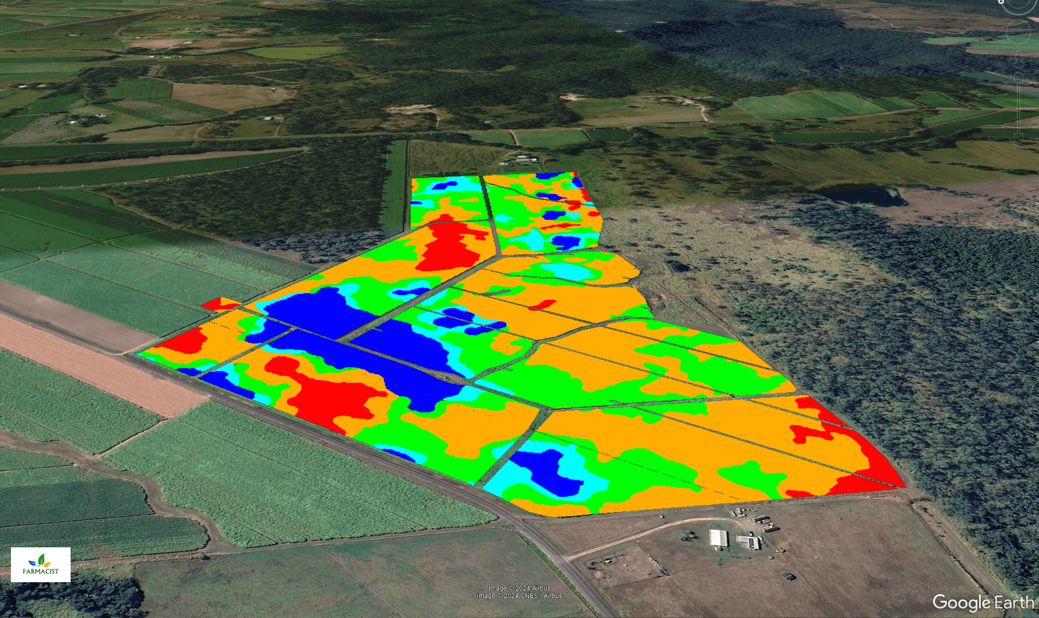
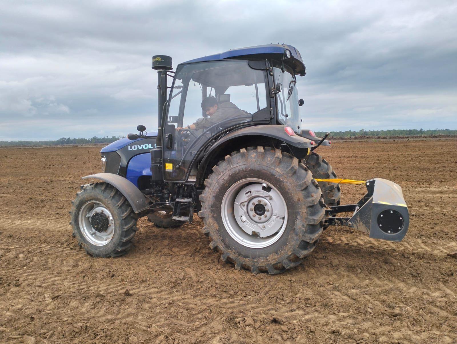
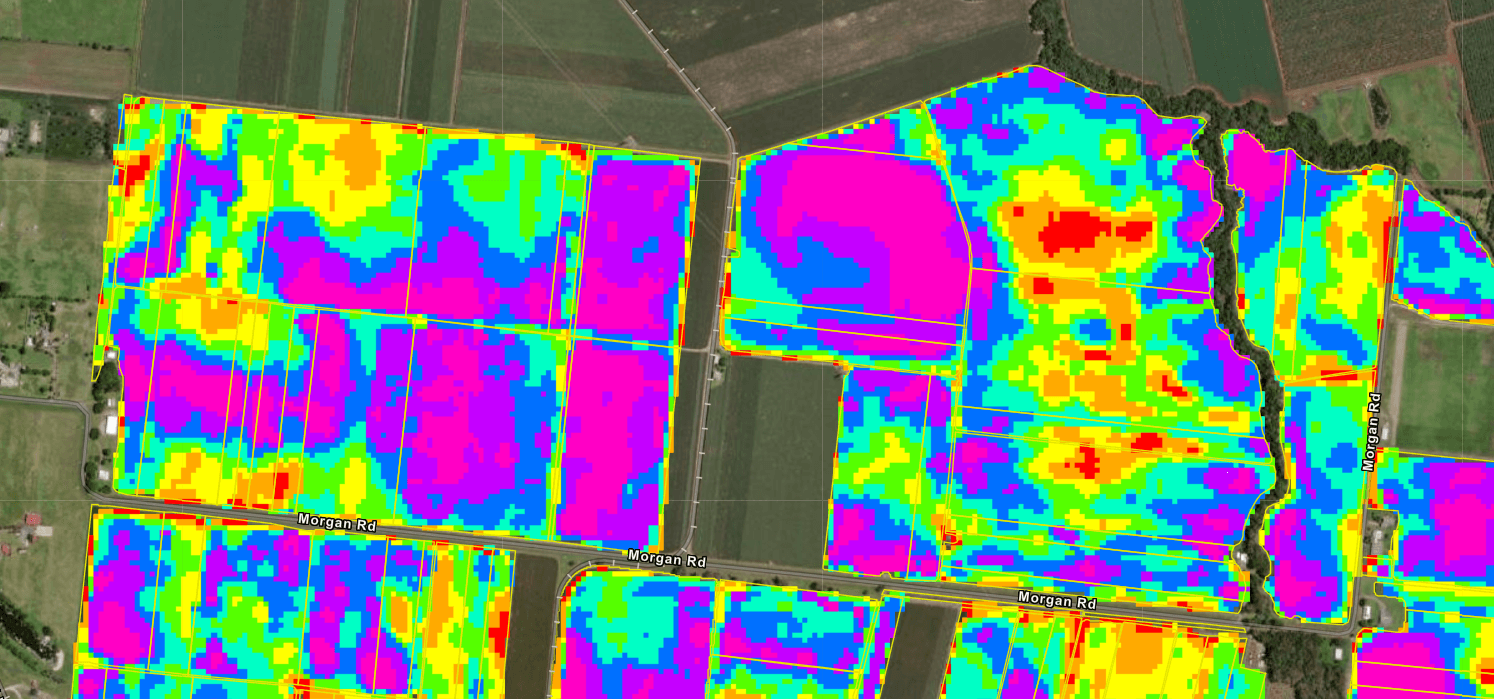
Our team of expert agronomists conduct TSM (TopSoil Mapping) to identify areas of soil variability, which can then be ground-truthed with georeferenced soil samples. This approach pinpoints issues such as sodicity, salinity, and compaction, providing a detailed map of soil health. From here, we use this data to make informed paddock management decisions, including tailored irrigation management, targeted organic amendment applications, variable rate prescriptions, and customised nutrition maps—optimising inputs and enhancing overall crop performance.
Key Points
Map spatial variability across the farm
Ground-truth variability with georeferenced soil samples
Improve crop yield and quality
Satellite imagery analysis
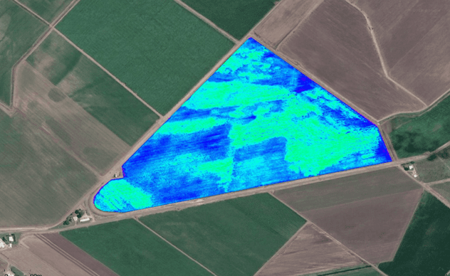
Sentinel-2 satellite imagery is a valuable tool for crop health assessments, offering high-resolution, multi-spectral data that enables precise monitoring across large areas. By analysing this imagery, we can track crop health trends and detect early stress indicators that might not be visible at ground level. This remote sensing technology provides a reliable overview of vegetation health, helping to make proactive management decisions.
Key Points
Monitor crop health across large areas
Detect early signs of crop stress
Support data-driven management practices
Drone imagery Capture
Drone imagery capture offers an effective and flexible approach to crop health assessments, providing high-resolution, real-time data that allows for a closer look at specific areas of interest. With drone technology, we can assess crop conditions in detail and respond rapidly to identified issues, enhancing the precision of our management practices.
Key Points
Capture high resolution images
Identify early stages of crop stress
Enhance precision in crop management
Prescription Map Generation
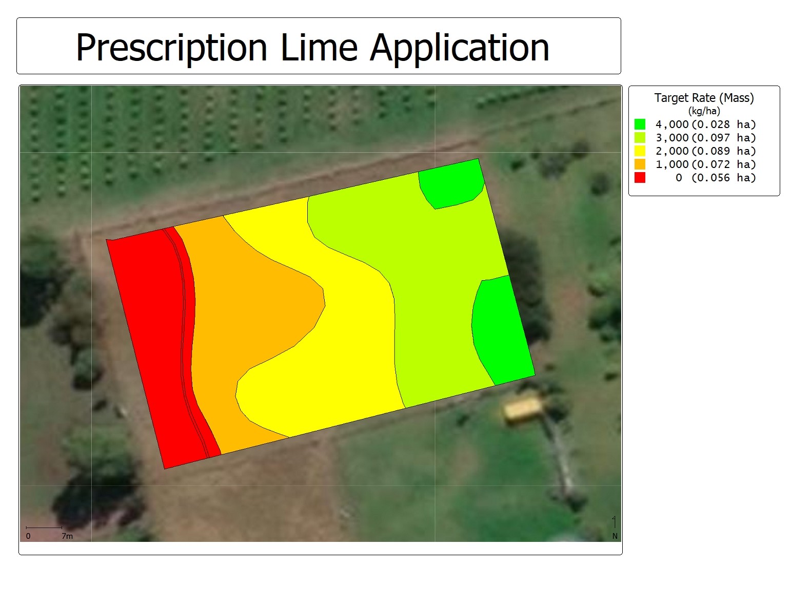
Farmacist generates prescription maps by integrating multiple data layers, including detailed soil mapping, satellite imagery, drone imagery, and the grower’s own insights about their farm’s performance. By combining these diverse sources of information, we can accurately identify the varying needs of different field zones, allowing for precise application of fertiliser, chemicals, or organic amendments.
Key Points
Comprehensive data integration
Customised zone management
Enhanced input precision
